The Story
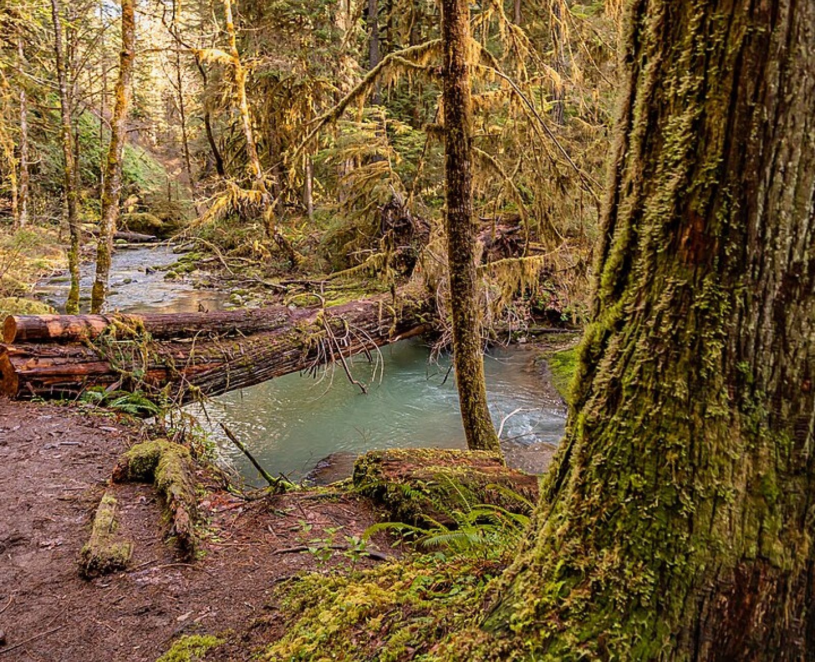
Two Forks Riparian Corridor protects 65 acres at the confluence where the north and south forks of Miller Creek join, the single most important spawning reach for steelhead trout in our service area. We protected the land in 2022, but the more consequential work happened the year before: removing an undersized, perched culvert at the county road crossing that had blocked upstream fish passage since the 1960s.
The culvert replacement alone reopened 3.4 miles of spawning and rearing habitat upstream that steelhead had been locked out of for six decades. Post-removal spawning surveys, conducted jointly with the state fish and wildlife agency, counted returning steelhead redds (spawning nests) in the newly accessible reach for the first time in the four seasons since. Streamside vegetation planting — willow, alder, and dogwood along both forks — is stabilizing banks that had eroded badly during grazing-era streamside grazing access.
As a river-bottom preserve sitting at the low end of the Ridge-to-River corridor, Two Forks is also the connective tissue between our forest preserves upstream and Willow Bend Farm’s hedgerows downstream — the corridor’s story only works if water quality and wildlife passage both hold along this exact stretch.