The Story
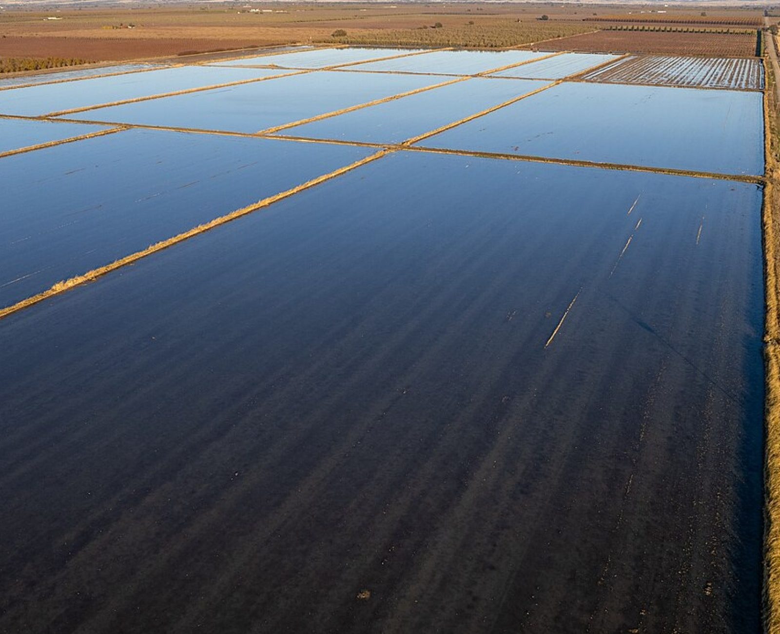
Cattail Slough Farm grows rice on 140 acres at the edge of the historic tidal slough system, on land that floods by design every winter after harvest — a practice the Nakamura family has followed for three generations, decades before “waterfowl-friendly agriculture” was a term anyone used. Our 2023 conservation easement formalizes and protects that flood-up practice permanently, alongside the same subdivision and development restrictions we place on every working-farmland easement.
Winter flood-up turns harvested rice fields into shallow, food-rich wetland habitat for several months each year, and this property sits along a documented flyway stop for wintering waterfowl — our December counts have logged over 4,000 individual ducks and geese using the flooded fields in a single survey day during peak migration. The easement also protects roughly 30 acres of unfarmed cattail slough at the property’s edge, which the family had never drained despite decades of pressure to convert it to additional cropland.
Cattail Slough anchors the southern end of the Working Farmland Protection program’s coverage and sits along the same waterway system that ultimately reaches Salt Marsh Point — freshwater agricultural wetland habitat feeding into the coastal system downstream.